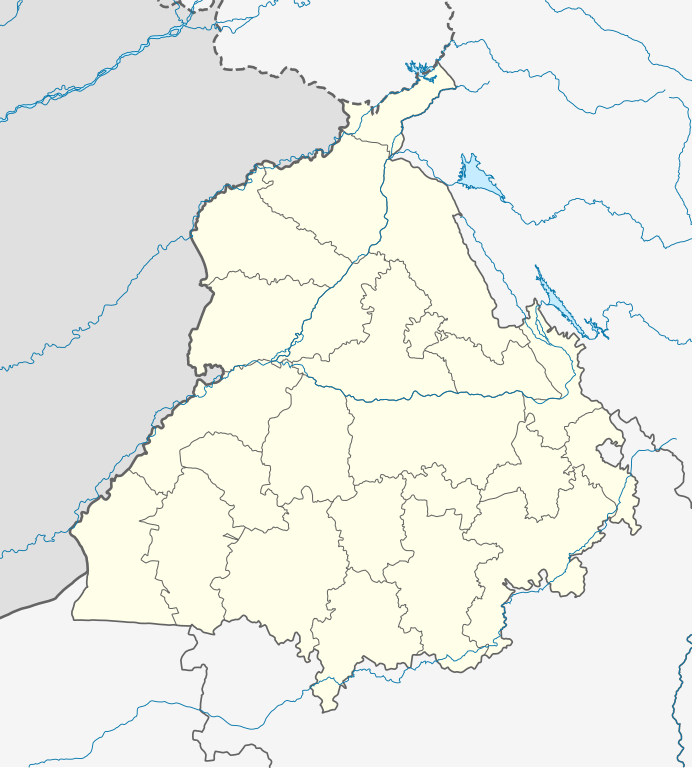
ਤਸਵੀਰ:India Punjab location map.svg

ਭਾਰਤਪੀਡੀਆ ਤੋਂ
Jump to navigation Jump to search

ਅਸਲ ਫ਼ਾਈਲ(SVG ਫ਼ਾਈਲ, ਆਮ ਤੌਰ ’ਤੇ 979 × 1,086 ਪਿਕਸਲ, ਫ਼ਾਈਲ ਦਾ ਅਕਾਰ: 311 KB)

ਇਹ ਫ਼ਾਈਲ Wikimedia Commons ਦੀ ਹੈ ਅਤੇ ਹੋਰ ਪਰਿਯੋਜਨਾਵਾਂ ਵਿੱਚ ਵੀ ਵਰਤੀ ਜਾ ਸਕਦੀ ਹੈ । ਇਸ ਫ਼ਾਈਲ ਦੇ ਵੇਰਵਾ ਸਫ਼ੇ ਵਿੱਚ ਮੌਜੂਦ ਵੇਰਵਾ ਹੇਠ ਦਿਸ ਰਿਹਾ ਹੈ।

ਸਾਰ

ਵੇਰਵਾ
Deutsch: Positionskarte von Punjab, Indien

Quadratische Plattkarte, N-S-Streckung 117 %. Geographische Begrenzung der Karte:

  • N: 32.8° N
  • S: 29.3° N
  • W: 73.5° O
  • O: 77.2° O
English: Location map of Punjab, India

Equirectangular projection, N/S stretching 117 %. Geographic limits of the map:

  • N: 32.8° N
  • S: 29.3° N
  • W: 73.5° E
  • E: 77.2° E
ਮਿਤੀ
ਸਰੋਤ

ਆਪਣਾ ਕੰਮ, using

  • United States National Imagery and Mapping Agency data
  • World Data Base II data
ਲਿਖਾਰੀ NordNordWest
ਇਜਾਜ਼ਤ
(ਇਸ ਫ਼ਾਈਲ ਦੀ ਮੁੜਵਰਤੋਂ ਕਰੋ)

I have published this file as author NordNordWest under the "CC-BY-SA-3.0-DE" in Wikipedia. This means that free, commercial usage outside of Wikipedia is permitted under the following licence terms:

Please send me a specimen copy or the URL of the website where the file is used.

Please write an email to nnwest[at]web.de if you

  • need my postal address for sending a specimen copy
  • have further questions about the terms of the licence

PS: In case of refusal of the above terms the author reserves the right to take legal action.

w:en:Creative Commons
ਗੁਣਾਂ ਦੀ ਦੱਸ ਸ਼ੇਅਰ ਅਲਾਈਕ
This file is licensed under the Creative Commons Attribution-Share Alike 3.0 Germany license.
ਤੁਹਾਨੂੰ ਖੁੱਲ੍ਹ ਹੈ:
  • ਸਾਂਝਾ ਕਰਨ ਦੀ – ਰਚਨਾ ਨੂੰ ਕਾਪੀ, ਵੰਡਣਾ ਅਤੇ ਭੇਜਣਾ
  • ਮੁੜ-ਰਲ਼ਾਉਣ ਦੀ – ਰਚਨਾ ਨੂੰ ਢਾਲਣਾ
ਥੱਲੇ ਲਿਖੀਆਂ ਸ਼ਰਤਾਂ ਹੇਠ:
  • ਗੁਣਾਂ ਦੀ ਦੱਸ – ਉਚਿਤ ਕ੍ਰੈਡਿਟ ਦੇਵੋ, ਲਾਇਸੰਸ ਦਾ ਇੱਕ ਲਿੰਕ ਪ੍ਰਦਾਨ ਕਰੋ ਅਤੇ ਇਹ ਦਰਸਾਓ ਕਿ ਕੀ ਤਬਦੀਲੀਆਂ ਕੀਤੀਆਂ ਗਈਆਂ ਸਨ। ਤੁਸੀਂ ਇਹ ਕਿਸੇ ਵੀ ਵਾਜਬ ਤਰੀਕੇ ਨਾਲ ਕਰ ਸਕਦੇ ਹੋ, ਪਰ ਇਹ ਤਰੀਕਾ ਅਜਿਹਾ ਨਹੀਂ ਹੋਣਾ ਚਾਹੀਦਾ ਜੋ ਇਹ ਦਰਸਾਵੇ ਕਿ ਲਾਇਸੰਸਕਰਤਾ ਤੁਹਾਨੂੰ ਜਾਂ ਤੁਹਾਡੀ ਵਰਤੋਂ ਦਾ ਸਮਰਥਨ ਕਰਦਾ ਹੈ।
  • ਸ਼ੇਅਰ ਅਲਾਈਕ – ਜੇਕਰ ਤੁਸੀਂ ਸਮੱਗਰੀ ਨੂੰ ਰੀਮਿਕਸ ਕਰਦੇ ਹੋ, ਬਦਲਦੇ ਹੋ ਜਾਂ ਬਣਾਉਂਦੇ ਹੋ, ਤਾਂ ਆਪਣੇ ਯੋਗਦਾਨ ਇੱਕੋ ਜਿਹੇ ਜਾਂ ਅਨੁਕੂਲ ਲਾਇਸੰਸ ਦੇ ਅਧੀਨ ਕਰੋ।
Kartenwerkstatt
This map has been made or improved in the German Kartenwerkstatt (Map Lab). You can propose maps to improve as well.

Captions

ਪੰਜਾਬ, ਭਾਰਤ ਦਾ ਨਕਸ਼ਾ

Items portrayed in this file

ਚਿਤਰਨ

creator ਅੰਗਰੇਜ਼ੀ

copyright status ਅੰਗਰੇਜ਼ੀ

copyrighted ਅੰਗਰੇਜ਼ੀ

19 ਮਈ 2010

source of file ਅੰਗਰੇਜ਼ੀ

original creation by uploader ਅੰਗਰੇਜ਼ੀ

ਫ਼ਾਈਲ ਦਾ ਅਤੀਤ

ਤਾਰੀਖ/ਸਮੇਂ ’ਤੇ ਕਲਿੱਕ ਕਰੋ ਤਾਂ ਉਸ ਸਮੇਂ ਦੀ ਫਾਈਲ ਪੇਸ਼ ਹੋ ਜਾਵੇਗੀ।

ਮਿਤੀ/ਸਮਾਂਨਮੂਨਾਨਾਪਵਰਤੋਂਕਾਰਟਿੱਪਣੀ
ਮੌਜੂਦਾ09:49, 19 ਅਗਸਤ 202209:49, 19 ਅਗਸਤ 2022 ਵੇਲੇ ਦੇ ਵਰਜਨ ਦਾ ਅੰਗੂਠਾਕਾਰ ਰੂਪ979 × 1,086 (311 KB)wikimediacommons>C1MMFixed Ludhiana district

ਮੈਟਾਡੈਟਾ