More actions
ਇਸ ਝਾਤ ਦਾ ਅਕਾਰ: 800 × 592 ਪਿਕਸਲ. ਹੋਰ ਰੈਜ਼ੋਲਿਊਸ਼ਨਜ਼: 320 × 237 ਪਿਕਸਲ | 640 × 474 ਪਿਕਸਲ | 1,024 × 758 ਪਿਕਸਲ | 1,278 × 946 ਪਿਕਸਲ.
ਅਸਲ ਫ਼ਾਈਲ (1,278 × 946 ਪਿਕਸਲ, ਫ਼ਾਈਲ ਅਕਾਰ: 1.51 MB, MIME ਕਿਸਮ: image/png)
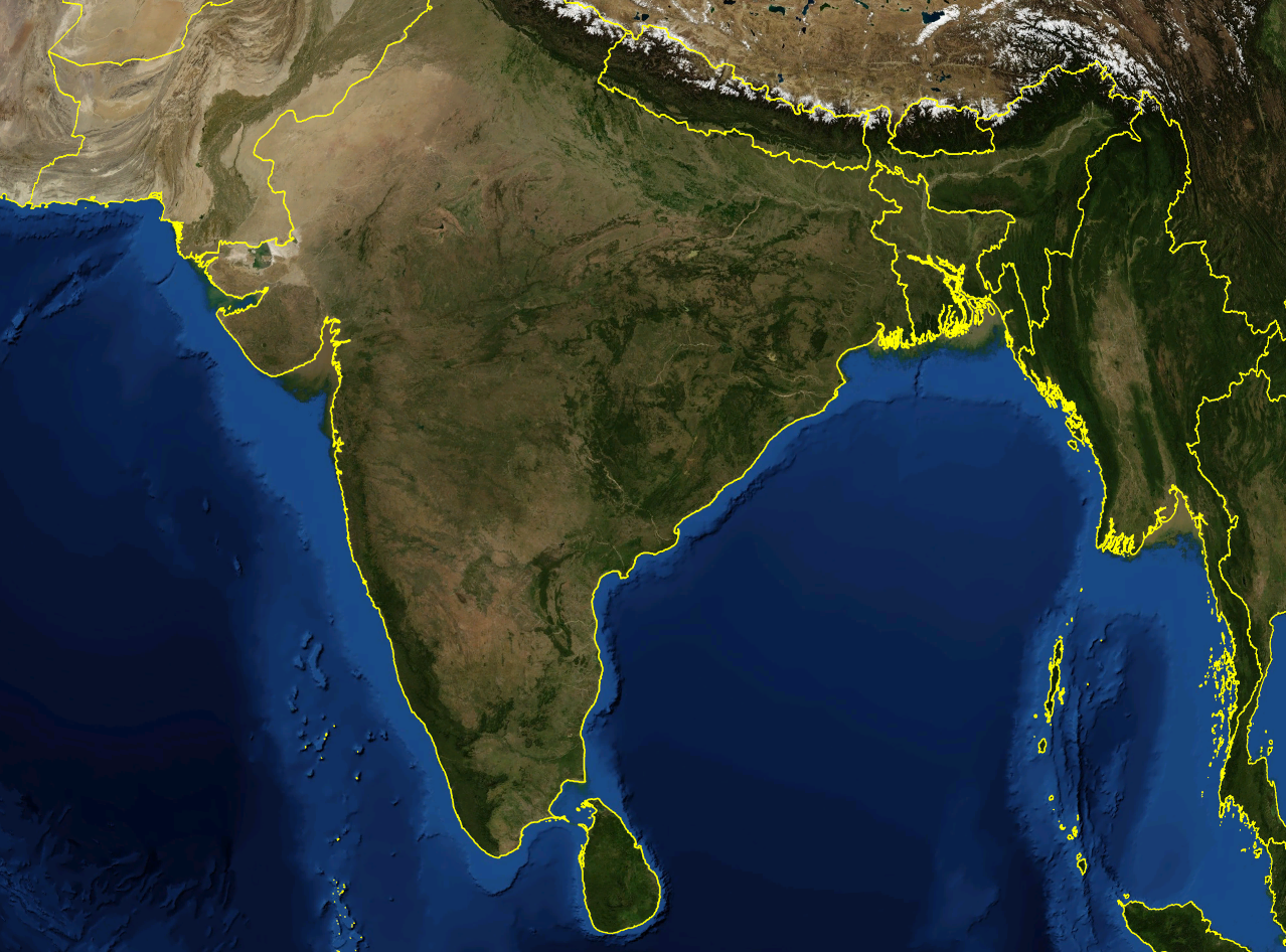
| ਵੇਰਵਾ | Satellite image of India and surrounding regions | |||
| ਮਿਤੀ | ||||
| ਸਰੋਤ | ਆਪਣਾ ਕੰਮ | |||
| ਲਿਖਾਰੀ | Mgiganteus | |||
| ਇਜਾਜ਼ਤ (ਇਸ ਫ਼ਾਈਲ ਦੀ ਮੁੜਵਰਤੋਂ ਕਰੋ) |
|

| Annotations | This image is annotated: View the annotations at Commons |
ਫ਼ਾਈਲ ਦਾ ਅਤੀਤ
ਤਾਰੀਖ/ਸਮੇਂ ’ਤੇ ਕਲਿੱਕ ਕਰੋ ਤਾਂ ਉਸ ਸਮੇਂ ਦੀ ਫਾਈਲ ਪੇਸ਼ ਹੋ ਜਾਵੇਗੀ।
| ਮਿਤੀ/ਸਮਾਂ | ਨਮੂਨਾ | ਨਾਪ | ਵਰਤੋਂਕਾਰ | ਟਿੱਪਣੀ | |
|---|---|---|---|---|---|
| ਮੌਜੂਦਾ | 22:21, 28 ਨਵੰਬਰ 2007 | | 1,278 × 946 (1.51 MB) | wikimediacommons>Mgiganteus | {{Information |Description=Satellite image of India and surrounding regions |Source=self-made |Date=2007 |Author= Mgiganteus |Permission={{PD-WorldWind}} |other_versions= }} Category:Maps of India Category:South Asia [[Categor |
ਫ਼ਾਈਲ ਦੀ ਵਰਤੋਂ
ਇਹ ਫਾਈਲ ਹੇਠਾਂ ਦਿੱਤੇ 2 ਸਫ਼ੇ ਵਰਤਦੇ ਹਨ: